|
|
Gemini
|
Rigel Analyst
|
Rigel Workstation
|
CIW
|
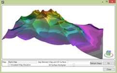 |
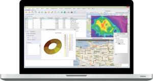
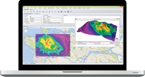
ECRI’s patented CGT geographic profiling tool |
|
 |
|
|
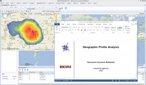 |
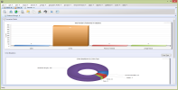
Auto-generate a report based on your own template |
|
|
|
|
 |
Import crimes from multiple data sources with user controlled crime merging |
|
|
|
|
 |
Display crimes on a map based on temporal details (i.e., Day of Week, Month of Year, etc.) |
|
|
|
|
 |
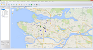
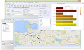
View your data using multiple maps and/or mapping services at the same time |
|
|
|
|
 |
Flexible user interface technology |
|
|
|
|
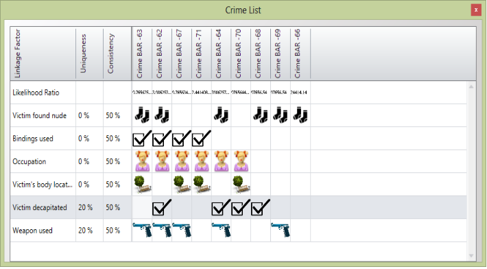 |
Bayesian Linkage Analysis to determine if a series of crimes are linked |
|
|
|
|
 |
Evaluate whether new crimes are associated with current crime series |
|
|
|
|
 |
Create and manage your own crime and suspect databases shared by all of your cases |
|
|
|
|
 |
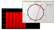
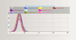
Rank your suspects from multiple Witness statements |
|
|
|
|
 |
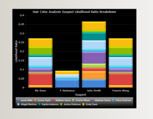
Combine suspect rankings from multiple analysis techniques |
|
|
|
|